Area Fill - Tiff Output
The ASCII output of Area Fill can be converted to a TIFF file using the afill2tiff utility (this utility is only available on the UNIX/Linux ports of Area Fill and not on Windows) The syntax and usage for afill2tiff are shown below:
afill2tiff input output_basename [options]


where

<input>                  ascii text file generated by Areafill
                         if equal to '-', input is stdin
                         (Note: the Area Fill program does not
                         write directly to stdout)


<output_basename>        basename for the tiff output
                         there could be multiple jobs in the AreaFill
                         ascii - therefore there could be multiple
                         tiff files generated using the job/layer as
                         a way to differentiate file names.


options:

-areamap      creates 24 bit color areamap TIFF file when perimeter data
              is present in he ASCII input. Four files are produced:
              an 8 bit grayscale for, area, X, Y and a RGB with
              all three.

-areamap!     same as -areamap but only the 24 bit RGB file is created.

-lnorm:L      use L as the normalizing length in um. If not specified,
              defaults to the ASCII file internal normalization

-anorm:A      use A as the normalizing area in um^2. If not specified,
              defaults to the tile area.

-annotation   do NOT include any annotation in the areaamap file. If
              not specified, the TIFF files will contain annotation
              data describing the tile size.
Currently afill2tiff works on ASCII (both area and area/perimeter) and XML only for area.
Example 1
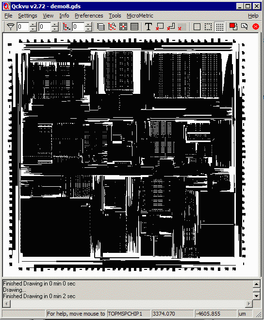
We ran the demo8.gds, layer 8 with 100 x 100 um tiles (from -5000,-5000 to 5000,5000) and create an ascii output called example4.txt. Only area data was computed.

To convert the GDSII file to text format use by afill2tiff use the following command line:
$ areafill32 demo8.gds demo8.txt = +8 -tile:100,100
To view the results as a tiff file use the following command line:
$ afill2tiff demo8.txt example4 -areamap
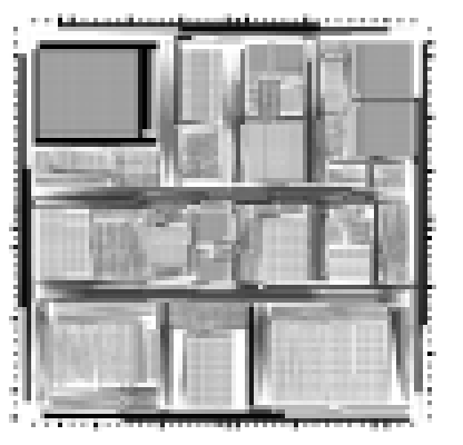
The resulting TIFF file is called example4_layer8.tiff (name built from the base name plus layer information in the ascii file)
When viewed it looks like this:

Note: because the array of tiles starts at the lower left and TIFF
starts at upper left the TIFF images appear to be mirrored along the X axis.
Example 2
We ran the same demo8.gds, layer 8 with 100 x 100 um tiles (from -5000,-5000 to 5000,5000) and create an ascii output called example4.txt. Both area and perimeter data were computed.
$ afill2tiff example5.txt example5 -areamap
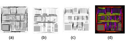
Four tiff files are produced: gray scale for area, X perimeter and Y perimeter and a RGB file for the combined three parameters.

(a) grayscale area (b) grayscale X perimeter (c) grayscale Y perimeter (d) RGB area,X,Y
